Busselton Home Prices / Suburb guide
Port Geographe: canal homes, prices, and the seagrass question
Port Geographe is Busselton's marina and canal estate, in the suburb of Geographe. Its waterfront blocks are some of the most sought-after in town, and its history includes one of WA's best-known coastal engineering fixes.
By the Busselton Home Prices editor · Article updated 3 October 2026 · 2 min read
- Where
- About 3 km east of Busselton, between Geographe Bay and the Vasse Estuary
- Suburb
- Geographe (postcode 6280)
- Population
- 3,415 (REIWA, whole suburb)
- Built
- From the early 1990s; breakwaters 1996-97
- Coastal works
- Managed by the WA Department of Transport and Major Infrastructure
Prices at Port Geographe
REIWA reports prices for the whole suburb of Geographe, which includes the canal estate and the older streets nearer town. Its median house sold for $1,010,000 in the 12 months to August 2026, up 11.0% on a year earlier, with the top quarter of sales above $1.36 million. Waterfront land sells well above inland blocks: a 664 square metre island lot with its own mooring in the Baudin Cove release was listed at $795,000 and sold in June 2026.
| Suburb | Median house price | 1-year change | Median rent a week | Days on market |
|---|---|---|---|---|
| Geographe (Port Geographe) | $1,010,000 | +11.0% | $800 | 29 |
| Busselton | $990,000 | +20.7% | $765 | 8 |
| Yalyalup | $867,500 | +11.4% | $850 | 8 |
| West Busselton | $970,000 | +16.5% | $760 | 23 |
REIWA suburb profiles, Landgate/REIWA data, 12 months to August 2026 (Siesta Park and Kealy to September), read 3 October 2026. Small suburbs have few sales, so one sale can move the median a long way.
The seagrass story
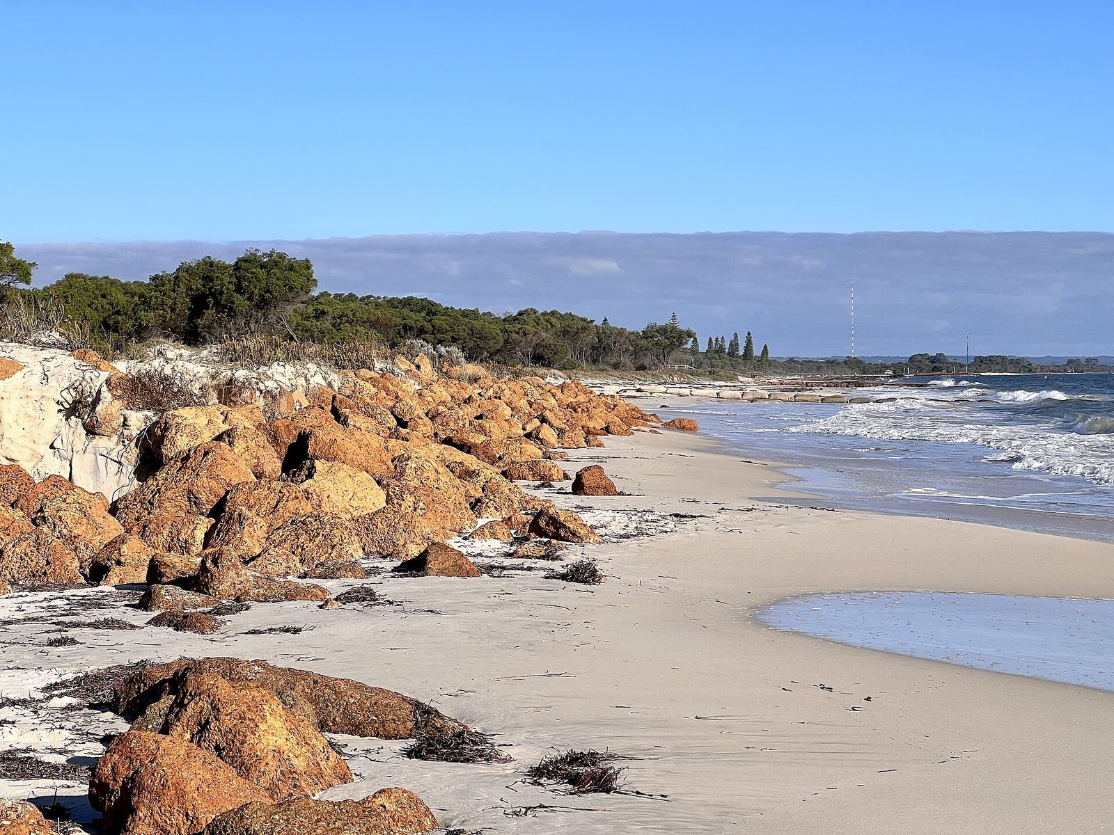
Port Geographe's breakwaters, built in 1996-97, interrupted the natural eastward drift of sand and seagrass along the bay. Seagrass wrack piled up on the beach west of the harbour, rotting and smelling, while Wonnerup beach to the east eroded. The developer ran into financial trouble and the project stalled in 2009. In 2012 the State Government committed $28.15 million, and in 2013 and 2014 the Department of Transport reshaped the breakwaters, removed the pocket-beach groynes and built a revetment towards Wonnerup. The department still monitors the area and moves sand and wrack when needed under a management plan.
What to check before buying
Ask about the canal and seawall arrangements for any waterfront lot, and read the Department's current monitoring reports for the beaches either side of the harbour entrance.
Common questions
Is Port Geographe a suburb?
No. It is the marina and canal estate within the suburb of Geographe, which REIWA and Landgate report as one area.
What happened to the seagrass at Port Geographe?
The original breakwaters trapped seagrass wrack west of the harbour. The State reconfigured them in 2013-14 and still manages wrack and sand there.
Sources
- REIWA, Geographe suburb profile (prices, rents, population), read 3 October 2026
- Department of Transport and Major Infrastructure, Port Geographe reconfiguration
- Department of Transport, Port Geographe coastal structures environmental monitoring and management plan (history, 2013-14 works)
- EPA, Port Geographe Harbour development, Busselton (Bulletin 783: site between the ocean and the Vasse Estuary)
- WA Government, State Government funds Port Geographe solution ($28.15 million), 16 November 2012
- OnTheHouse, Lot 210 Port Lane, Geographe (Baudin Cove South Island release, $795,000)