Busselton Home Prices / Living here
Living near the Busselton foreshore
The foreshore is Busselton's front garden: the jetty, the playground, the youth precinct and the cafés along Geographe Bay, rebuilt over the past 15 years. Here is what is there, and what it costs to live nearby.
By the Busselton Home Prices editor · Article updated 3 October 2026 · 5 min read
The jetty
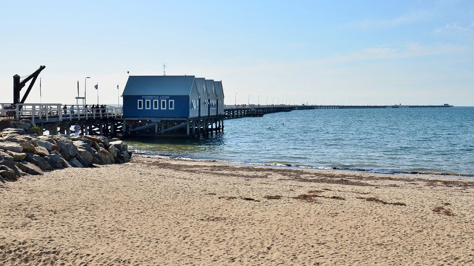
The Busselton Jetty runs 1.841 kilometres into Geographe Bay, the longest timber-piled jetty in the Southern Hemisphere. It began at 161 metres in 1865 and was extended over the next century; it closed as a port in 1973. After Cyclone Alby in 1978 a community group raised money to save it, and a $27 million refurbishment, $24 million of it from the State Government, was completed in 2011. A train runs out to the Underwater Observatory near the end.
The redevelopment
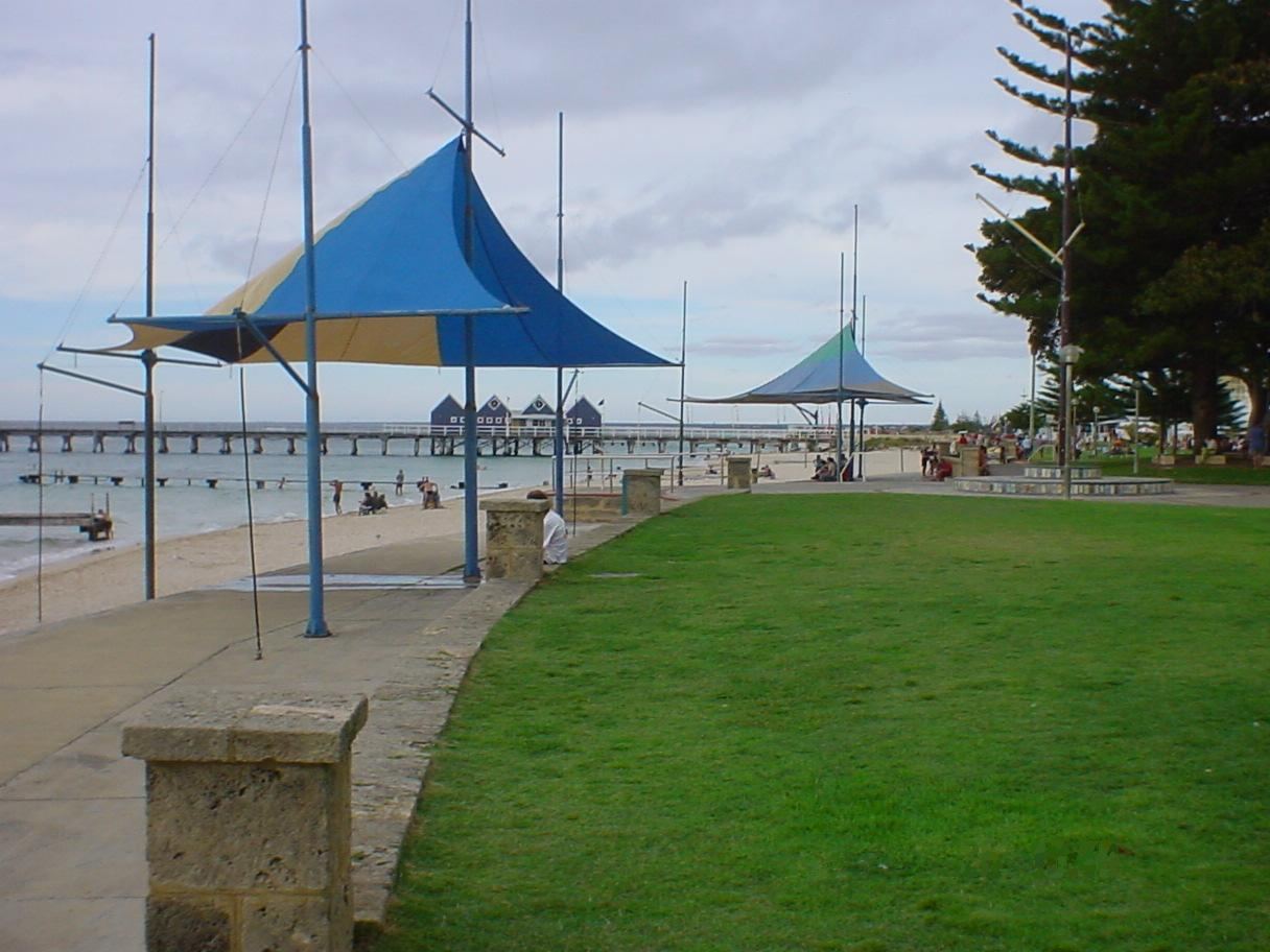
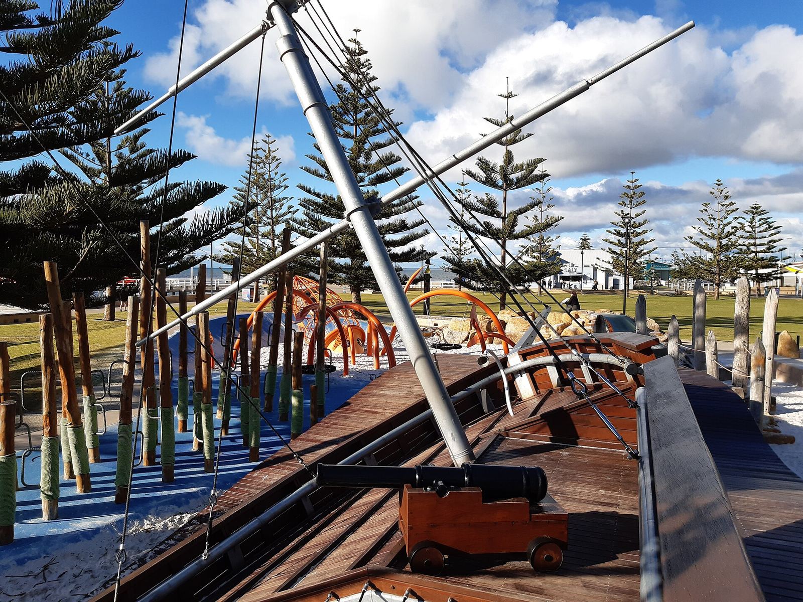
The City adopted the Busselton Foreshore Master Plan in March 2012, covering about 38 hectares of public, commercial and cultural space on the water's edge beside the jetty. The precinct now has a visitor centre, conference and exhibition space, a skate park and youth facilities, the nautical-themed Adventure Playspace, walking promenades, places to eat, and a hotel on one of three short-stay accommodation sites set aside in the plan.
What homes cost nearby
The foreshore sits at the meeting point of two suburbs. In the suburb of Busselton, the town centre behind the foreshore, the median house sold for $990,000 in the 12 months to August 2026; in West Busselton, which runs west along the bay, $970,000.
| Suburb | Median house price | 1-year change | Median rent a week | Days on market |
|---|---|---|---|---|
| Busselton | $990,000 | +20.7% | $765 | 8 |
| West Busselton | $970,000 | +16.5% | $760 | 23 |
| Geographe (Port Geographe) | $1,010,000 | +11.0% | $800 | 29 |
REIWA suburb profiles, Landgate/REIWA data, 12 months to August 2026 (Siesta Park and Kealy to September), read 3 October 2026. Small suburbs have few sales, so one sale can move the median a long way.
Common questions
How long is the Busselton Jetty?
1.841 kilometres, the longest timber-piled jetty in the Southern Hemisphere.
When was the Busselton foreshore redeveloped?
Over about a decade from the late 2000s; the City's master plan was adopted in March 2012 and refined in 2014, 2016 and 2021.
Planning a foreshore visit
Choose the activity that sets the timetable first. A booked train or observatory session creates a fixed commitment; a walk, playground visit or meal can usually be arranged around it. Check the operator's current availability before building a day around a tour. The fact that the foreshore itself is accessible does not mean every attraction is open or included in the same ticket.
For a simple, hypothetical half-day, begin near the jetty, allow time for the booked activity and leave the remainder flexible for the promenade or playspace. If a tour is unavailable, adjust the plan before travelling rather than assuming that walking to the booking desk guarantees entry. This is a suggested planning sequence, not a package sold by this site.
The Underwater Observatory operator identifies conditions affecting operations. Check weather-related notices and the details of your booking. An old photograph with clear water cannot establish what conditions will be like on the day you visit.
Access requirements and the actual route
If you need step-free access, accessible toilets, a suitable drop-off point or assistance with a tour, ask the relevant operator about your specific requirements before booking. “Accessible” can describe different parts of an experience, and one accessible facility does not establish that every route or activity will suit you.
Work from the actual entrance and meeting point rather than a general map pin for the waterfront. Identify the distance between parking or drop-off and the booked activity, where a companion can wait and how you will return. These questions are particularly useful when a long walk is not practical.
For a family group, consider who is using the playspace, who is joining a ticketed activity and where the group will meet afterwards. Keep the plan simple enough that a changed booking or weather interruption does not leave someone waiting at a different end of the precinct.
Living nearby: distance is only one part of the comparison
A house advertised as near the foreshore can be in a different position from another house carrying the same description. Trace the public walking route from the particular address. Check crossings, the route after dark and the entrance you expect to use most often. A straight-line distance does not show all of that.
Visit at more than one time if the waterfront routine is a major reason for moving. The useful question is how the location fits your work, shopping, appointments and recreation, rather than whether the precinct is attractive in a promotional image. A short holiday visit and an ordinary weekday can involve different journeys.
For an invented comparison, one home might be closer to the jetty while another gives a simpler journey to work. List those benefits separately. The historical difference between two suburb medians cannot tell you what the shorter walk is worth to your household or establish the value of either property.
What the nearby price figures leave out
The suburb medians above cover a wider area than the waterfront precinct. They include homes with different land sizes, condition, layouts and proximity to the coast. They are not a measure of “foreshore-front” property prices and should not be used as one.
Similarly, an advertised holiday rate is not evidence of residential rental yield. It can describe a different length of stay, inclusions, occupancy pattern and operating arrangement. If comparing costs, identify the type of accommodation and the period first, then obtain the relevant current information.
Use the house-price guide to understand the dated suburb statistics and the West Busselton guide for the adjoining residential area. This site provides an independent overview. It does not offer property listings, rental bookings, valuation services or sales enquiries.
Checking the jetty's access details
The operator's accessibility page gives practical measurements: the train's middle doors are 800 mm wide, and its designated wheelchair area is 800 by 1,600 mm. The observatory lift is described with an 880 mm door and a 1,200 by 1,200 mm interior. Confirm suitability and operation directly if those dimensions matter to your visit.
The same page identifies accessible toilets at the Interpretive Centre and the observatory. It also offers social stories and information on hearing and language assistance. Use those resources to ask a specific question before booking, rather than relying only on the word accessible in a general attraction description.
Sources
- City of Busselton, Busselton Foreshore Precinct (master plan 2012, about 38 hectares, facilities)
- City of Busselton, Busselton Jetty (1.8 km; $27 million refurbishment completed 2011)
- Busselton Jetty Inc, Jetty history (1.841 km; built 1865; closed as a port 1973)
- WA Government, Event marks decade of redevelopment on Busselton Foreshore, 8 December 2018
- REIWA, Busselton and West Busselton suburb profiles, read 3 October 2026