Busselton Home Prices / The coast
Busselton beaches, and the suburbs behind them
Geographe Bay faces north, so its beaches are calm and sheltered most of the year. Here they are from west to east, each with the suburb behind it and what homes there cost.
By the Busselton Home Prices editor · Article updated 3 October 2026 · 7 min read
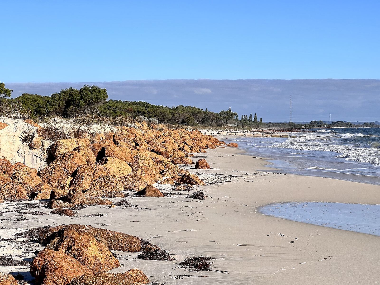
The beaches, west to east
| Beach | Suburb behind it | Median house price |
|---|---|---|
| Eagle Bay | Eagle Bay | $4,950,000 |
| Dunsborough town beach | Dunsborough | $1,400,000 |
| Quindalup beaches | Quindalup | $2,025,000 |
| Siesta Park | Siesta Park | $2,600,000 |
| Abbey Beach | Abbey | $1,470,000 |
| Broadwater Beach | Broadwater | $1,150,000 |
| West Busselton beaches | West Busselton | $970,000 |
| Busselton Jetty and foreshore | Busselton | $990,000 |
| Port Geographe's Western Beach | Geographe | $1,010,000 |
| Wonnerup Beach | Wonnerup | not published |
Medians are REIWA's for the 12 months to August 2026. Eagle Bay and Siesta Park had very few sales, so their medians rest on a handful of homes.
The western beaches: Eagle Bay to Quindalup
The bay's western end, under Cape Naturaliste, has the dearest houses: Eagle Bay's median was $4,950,000. Dunsborough's town beach is a short walk from the shops.
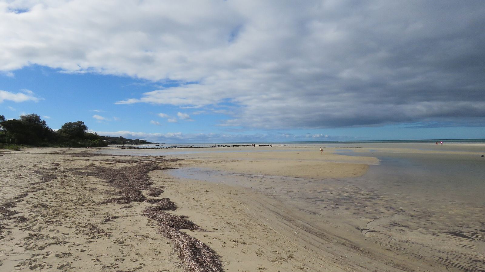
The middle: Siesta Park to West Busselton
A long run of calm beach backed by dunes and peppermint trees, with Abbey, Broadwater and West Busselton behind it.
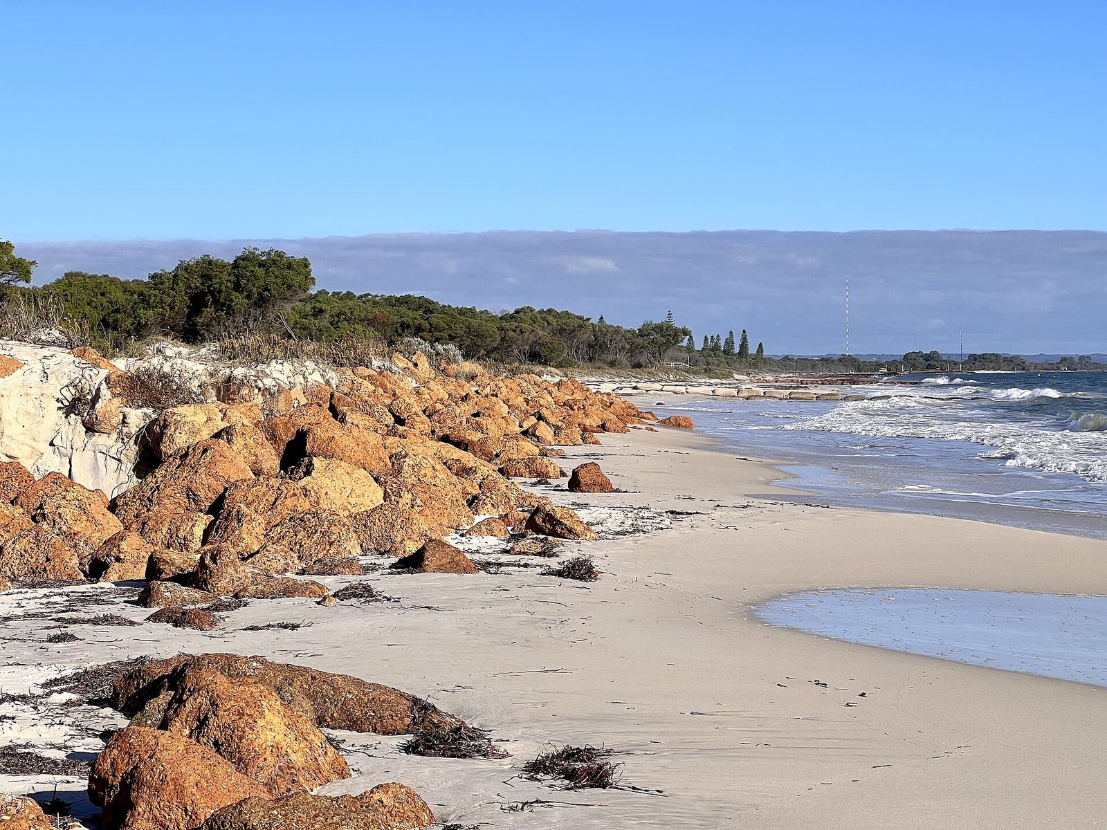
The east: the jetty, Port Geographe and Wonnerup
The foreshore and jetty are the town's centrepiece. East of the Port Geographe harbour entrance, Wonnerup Beach is managed by the State with the Port Geographe coast: sand and seagrass wrack are moved along the coast when they build up. The Port Geographe story.
Common questions
What is the best beach in Busselton?
It depends what you want: the foreshore for the jetty and facilities, the western beaches for clear water, Broadwater and Abbey for quiet. We do not rank them.
Are Busselton beaches safe for swimming?
Geographe Bay is sheltered and usually calm, but conditions change. Swim between the flags where patrolled and check local warnings.
Pick a beach by the activity
The best starting point is what you want to do. A short visit centred on the jetty and nearby facilities is different from a long beach walk or a swim near your accommodation. Choose the relevant access point rather than treating the entire Geographe Bay coastline as one interchangeable destination.
For an invented family outing, compare the walking distance from parking, the return journey, available shade and the needs of each person. Check the actual facilities before relying on them. A photograph can show sand and water while leaving out the part of the trip that determines whether it works with a pram or mobility aid.
If you are choosing a swimming spot, use current conditions and safety information on the day. The bay's sheltered setting is not a guarantee of safe water at every place and time. Follow local warnings, use a patrolled swimming area where available and keep children under appropriate supervision.
Dogs: check the exact beach section
The City of Busselton's dog-exercise page and current beach signs are the starting point for dog access. Do not infer the status of one section from seeing dogs on a neighbouring section. Access points and mapped boundaries matter.
The City's 2026 dog-beach review update describes boundary adjustments and a seasonal on-leash trial at two locations from 1 December 2026 to 28 February 2027, between 9am and 5pm. It does not turn every beach into an off-leash area. Check the named location and current rules rather than applying the trial across the whole bay.
A practical check is to identify the access point you plan to use, read the map for that section and then read the sign when you arrive. Keep a lead available and choose another permitted section if the planned walk does not suit the applicable arrangements. This guide does not replace the City's current instructions.
Visiting with different access needs
Check the whole journey: parking or drop-off, the path to the beach, gradients or steps, the surface at the access point and the return route. A paved promenade does not establish that a person can reach the sand or water in the same way.
Where a specific accessibility feature matters, confirm it with the City or facility operator before travelling. Ask about the actual feature and location rather than a general assurance that the beach is suitable. Conditions and temporary works can affect a route that was straightforward on an earlier visit.
For an invented group with one person avoiding a long walk, it may be more useful to choose a convenient meeting point beside the promenade than to select a distant cove for its photograph. Planning around the group's needs creates a better visit than expecting everyone to complete the same route.
Weather and changing conditions
Plan a flexible day rather than assuming the morning's conditions will hold. Check a current forecast and any local alerts, then decide whether the intended activity still suits the conditions. A beach walk, a swim and a boat trip have different requirements.
If the water or weather does not suit the plan, the foreshore guide describes the waterfront precinct and our things-to-do guide offers other ways to arrange the day. Confirm opening and booking details with operators rather than assuming an alternative is available immediately.
Long-term climate averages describe a pattern over many years. They cannot tell you the wind, temperature or rainfall on a particular afternoon. Keep those two uses separate when deciding when to travel and what to do after you arrive.
The beach suburb is not the property boundary
A suburb described as beachside can extend inland. Before using beach access as a reason to shortlist a home, locate the actual parcel and trace the public route. A distance measured across private land is not a usable walking route, and a beach photograph in an advertisement does not establish a view from the house.
For a hypothetical comparison, one address may be physically closer to the shoreline but require a longer walk to the public access point. Another may be farther away in a straight line but have a simpler route. Record the route you will actually use rather than choosing the smaller map measurement.
The City's mapping services help orient an address-level investigation. If planning or coastal constraints matter to a purchase or proposed work, obtain an explanation for that specific property. The suburb name alone does not establish the applicable conditions.
Compare housing figures on the same basis
The table uses historical house medians, not asking prices for beach-front homes. A house median, a vacant-land median and a unit median describe different categories. Do not compare one category with another and describe the difference as the cost of moving one suburb west.
A useful shortlist records the particular home, asking-price date, land area, layout, condition and actual beach route. Keep the historical suburb statistic in a separate column as context. That preserves the distinction between a broad market snapshot and a specific property decision.
The photographs are credited illustrations of local places, not listings or proof of access from a property. This site does not sell homes, arrange inspections or accept accommodation bookings. Follow the original sources for current data and use qualified advisers for a particular purchase.
The named 2026/27 seasonal dog trial
The City's February 2026 review identifies Zone 6, Ford Road to Brown Street, and Zone 38, Smiths Beach, for the seasonal on-leash trial. Smiths Beach is a separate coastal destination beyond the Geographe Bay sequence in this guide; the review covers the wider City area. The published trial dates are 1 December 2026 to 28 February 2027, from 9am to 5pm.
Read the current map and signs for the exact boundary and arrangements outside those hours. The trial is a specific change for named zones, not permission to let a dog off-leash anywhere else. The City says it will review the trial after the 2026/27 summer. Check for that outcome before relying on the same arrangements in a later year.